Land Surveyor Training Institute Hyderabad

Land Survey Training Institute in Hyderabad
hyderabad
Land Survey Training Institute in HyderabadOne of the Best Land Surveyor Training instituteLand Surveying is the measurement and mapping of our surrounding environment using mathematics, specialised technology and equipment. Surveyor measure just about anything on the land ,in the sky or in the ocean bed. They even measure polar ice-caps
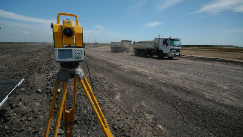
Land Surveyors’ work in the office and in the field-from suits to boots. Out in the field , they use the latest technology such as high order GPS ,Robotic Total Stations (Theodolites), and aerial and terrestrial scanners to map an area , making computations and taking photos as evidence.
 Recognised by govt.of Telangana